This page requires some cookies for the shop functionality, but there are also cookie, that are only used for marketing. Please accept the use of cookies. For more information, look at Privacy Policy
- Juan de la Cosa
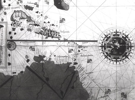
- Map of countries first discovered by Christopher Columbus
„Map of countries first discovered by Christopher Columbus “
from the gallery of
Juan de la Cosa


There are no comments yet, be the first!